
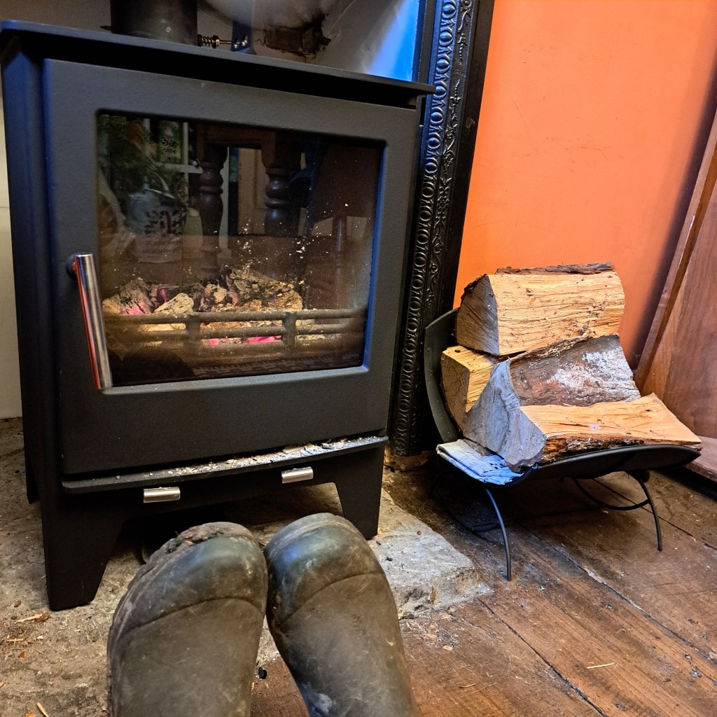
A walk from my house to find Volka Meadow, I have the old map that David Lovelace kindly sent me and have tried to overlay it on a modern map, but I’m not exactly sure how the areas relate. There’s a hoar frost so we wrap up warm; Graham preheats my wellies by the stove!
Along Station Road

Over the old bridge

Past the horses


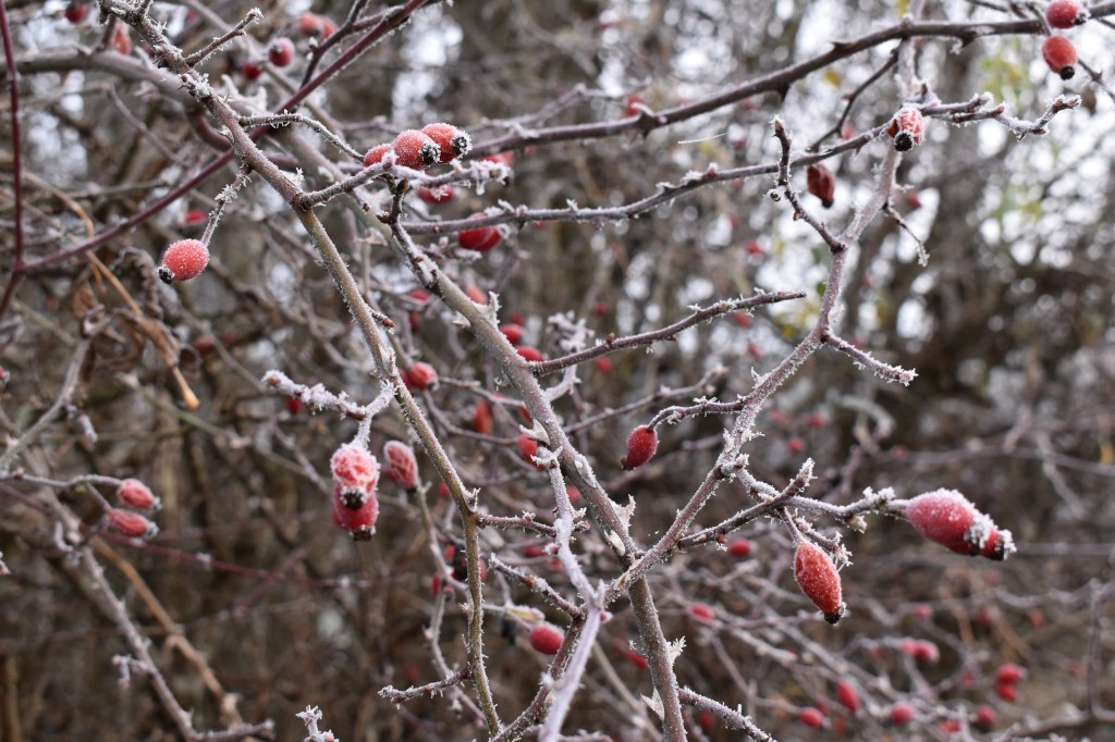
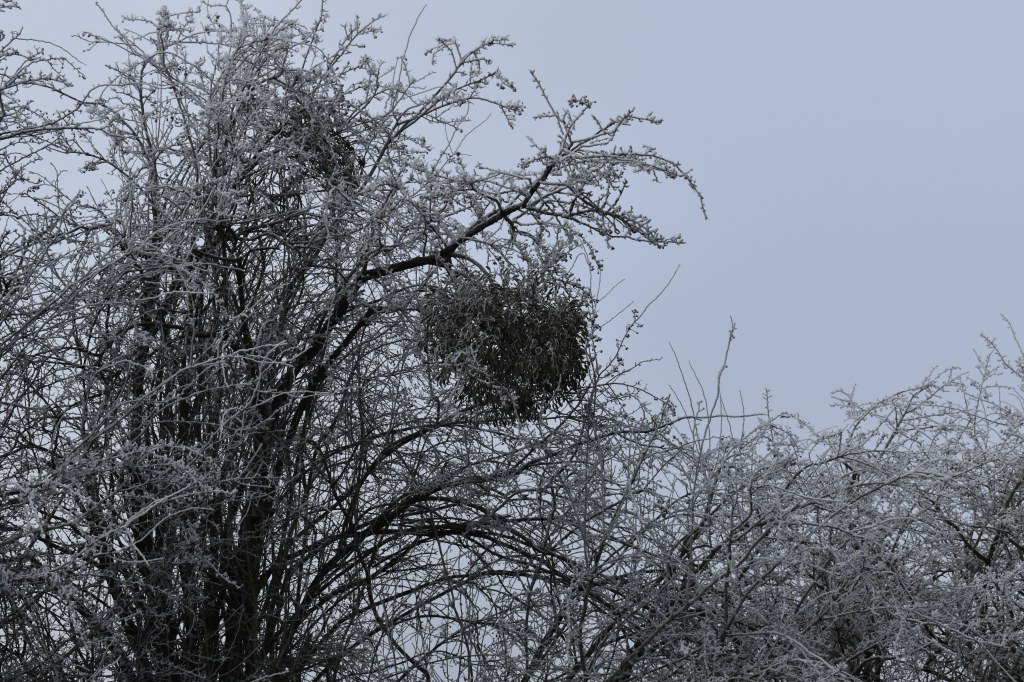
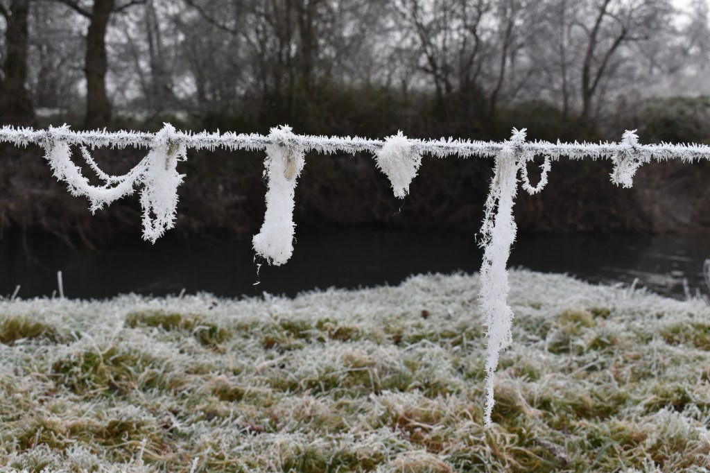
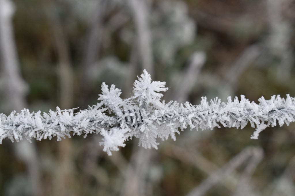
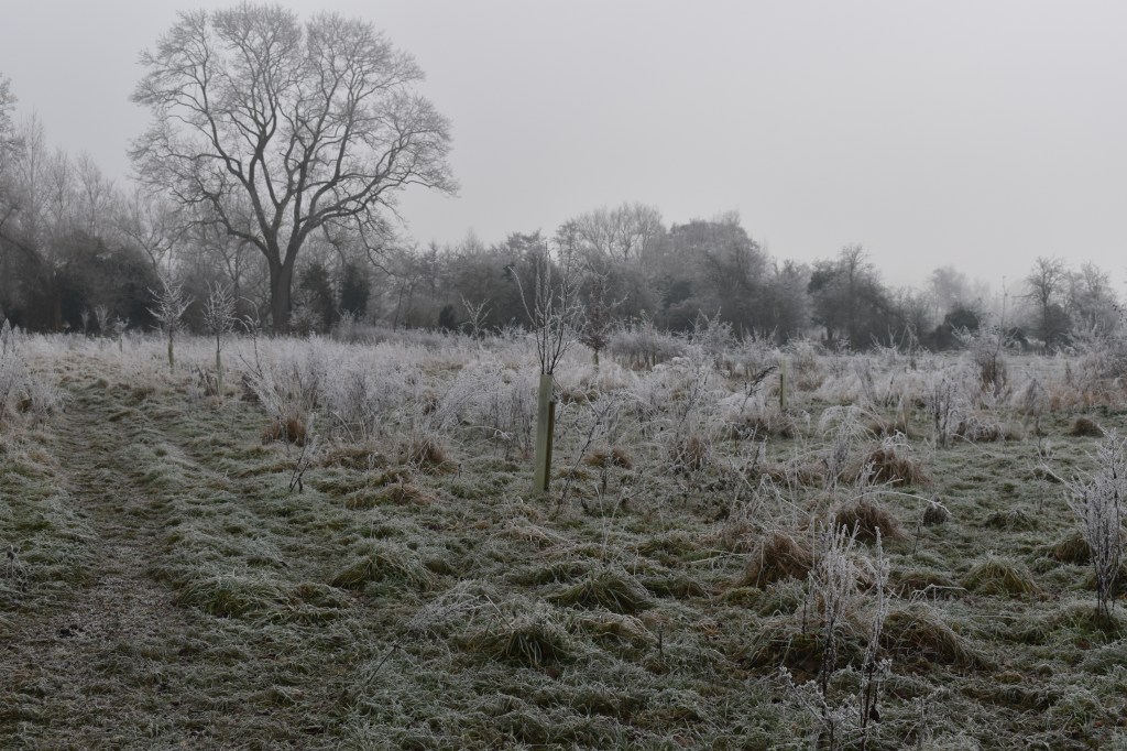
It’s all so beautiful, every line and surface etched in frost. Special conditions of surfaces already being below zero as the water droplets landed, building layer on layer of ice


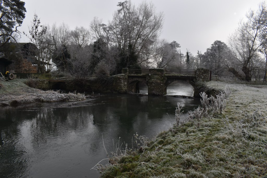
Here’s where I went wrong. I assumed this was the Old Volka bridge on the map, but in fact I realise after the walk that this was the bridge before Volka Bridge. Hence I incorrectly assumed that the following land we walked across, following the public footpath, was all part of Volka Meadow. As it turns out , only the last part of our walk was on the Meadow. It’s a reason to go back at any rate. We walk on and had hoped to reach the junction of the Lugg with the Arrow but it’s too cold and we turn back.


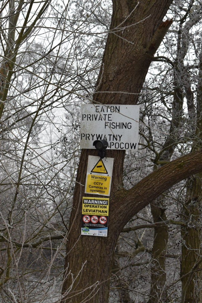
Operation Leviathan, aiming to tackle fish theft? Named after something from the Bible? I later look it up – it’s a sea monster, in biblical use identified with the whale, and the crocodile and the Devil; also: ‘a thing that’s very large or powerful’. Hidden rural crimes. The entire Lugg is legally free naviagation to all. Obviously not free fishing. Or, fishing is a quiet private thing, don’t tell anyone you are doing it!

Graham comments that this fallen willow branch is how trees walk.

The captured plastics suspended over the river remind me of an installation I created at Hereford Art College back in 2016.

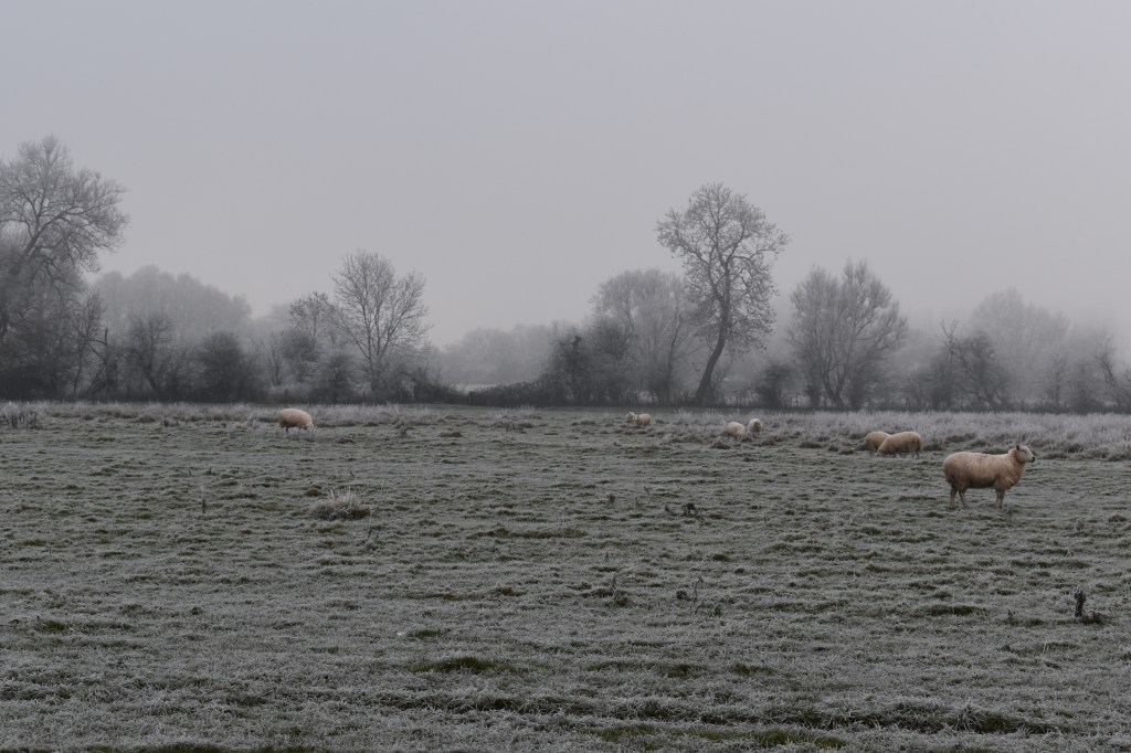
With the benefit of hindsight I can safely say that this image below is of land of Volka Meadow.
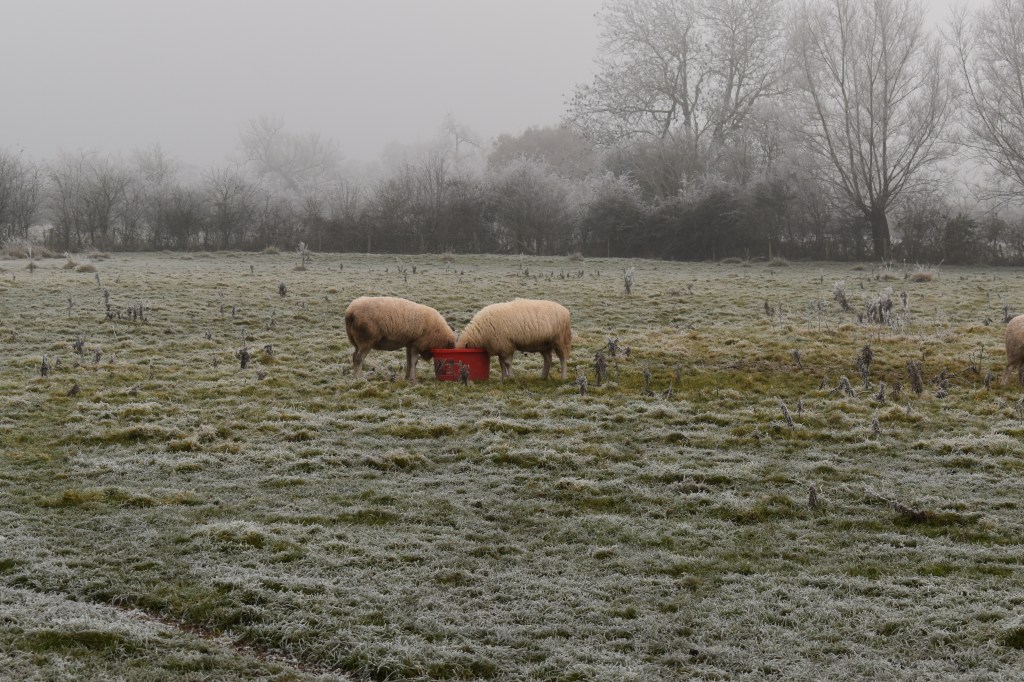
We turn back. Sheep are troughing, a bird sings from the perfect tree.

Back across the railway bridge. This train is heading onto tracks further south that run across part of Volka Meadow. I believe fairs were held on its land too – more research to do.

